- Survey for the choice of pipeline paths
- Targeted surveys during construction and operation for geomorphological issues interfering with pipelines
- Geological and hydrogeological survey
- Surveying Geomechanics on rocky outcrops
- 2D and 3D photo-interpretation for spatial analysis and planning
- Planning, coordination and supervision of geognostic campaigns for the characterization of the subsoil
- Definition of morphological restoration works
- Elaboration of Characterization Plans (excavation soil and rocks) and soil, water (surface and groundwater) and air monitoring plans (PM2, PM5, PM10) in accordance with current legislation.
- Environmental sampling (excavation soil and rocks, surface water and groundwater) with equipment and instrumentation in accordance with current guidelines and legislation.
- Conduct of pedological studies (mapping, soil description and sampling)
- Surveys with APR (Remote Piloting Aircraft) for geomorphological, topographical and inspection analysis
- Topographical surveys with GPS instrumentation and Total Station
- Surveys Ground and air laser scanners (outsourcing)
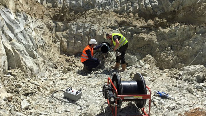
- Surveys with Gyrotrack, versatile and multi-purpose mapping system, able to provide accurate results on the pipeline position with Trenchless methodology
- Survey of existing pipelines and plants through pipe search instrumentation
- Surveying and geo-referencing during construction
- Cartographic processing and restitution of detected data with 3D modeling
- Project Modeling and Augmented Reality Visualization
Field inspection
Activities that allow the study, interpretation and survey of the environment to understand its geomorphological evolution, anthropogenic transformations and the state of the places.
Geology and topography for the energy sector
Geology and topography are two fundamental disciplines for all activities involving the design of infrastructure works in the energy sector. They are field activities that allow study, interpretation and detection of the environment to understand geomorphological evolution, anthropogenic transformations and state of the places.
Our activities in the energy sector:


Media library
Discover more
Browse here to download our presskit, read the latest news and discover all our success stories.
Choose to work with us!
Job opportunities
Techfem is always looking for new people to join the team. Find out who we are looking for and send us your application.
Our sustainability path
Discover more
Our path towards a future in line with the 17 Sustainable Development Goals of the European 2030 agenda
